The Miloterranean team is hard at work preparing the rest of the Geo Walks (Route 2 “Kalamos”, Route 3 “Theiorihia”, Route 4 “Aggeria”, Route 5 “Kimolos”, Route 6 “Sarakiniko”, Route 7 “Nychia”). Take a look at the most recent photos taken by the team over the past weeks.
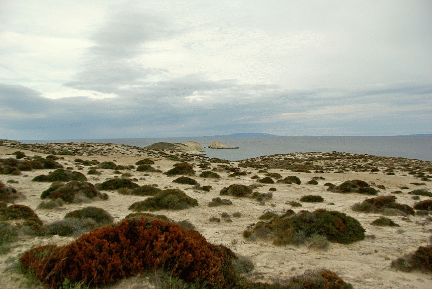
Route 3 “Theiorihia”: the coast at Sarakiniko

Route 4 “Aggeria”: the crater of the Fyriplaka volcano
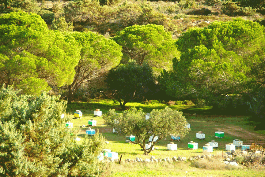
Route 4 “Aggeria”: a farm with olive trees and beehives, right before Agios Athanasios. Yes, it is true, there are pine trees, too.
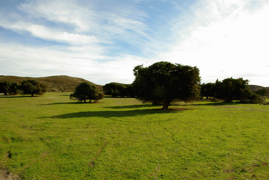
Route 4 “Aggeria”: the western highland of the Fyriplaka crater with the cedar trees of Milos. In the heart of December, everything is green all around!

Route 4 “Aggeria”: thousands of years ago, there was a volcanic erruption, and the flowing lava from the Fyriplaka crater reached Adamas bay. Volcanic material -here layers of perlite- that cooled during its flow resembles a geological “mille-feuille”.
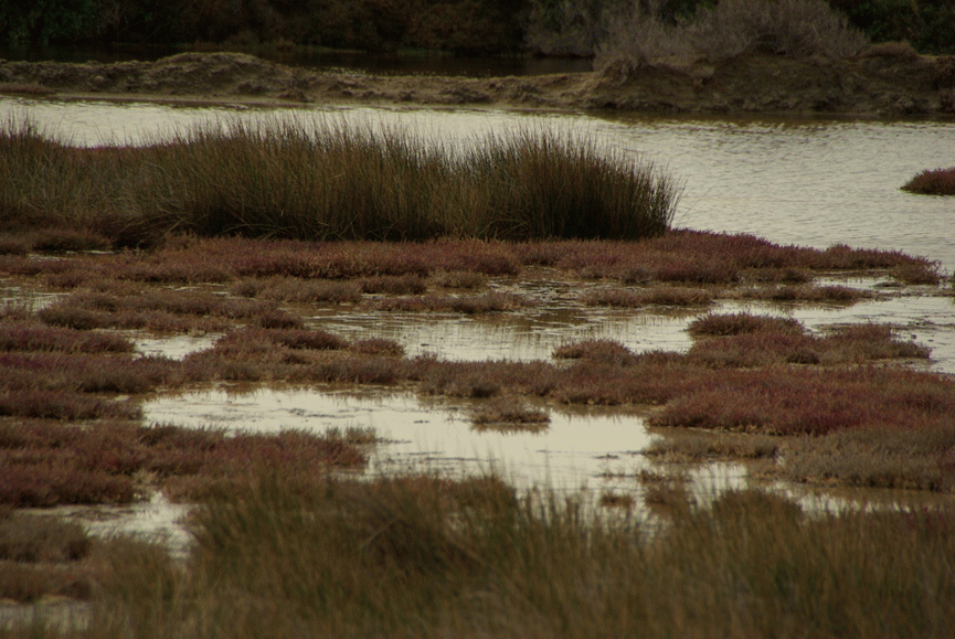
The Alyki wetland
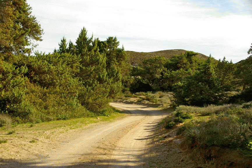
Route 4 “Aggeria”: the dirt road, or rather “perlite road”, to Agios Athanasios, through the cedar wood and the junipers
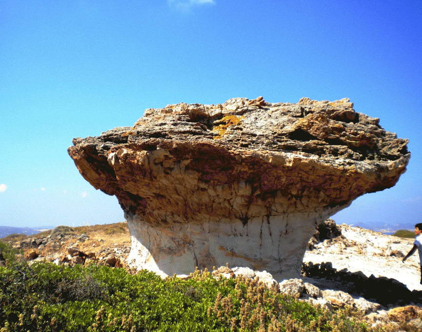
Route 5 “Kimolos”: at the end of the route you can see the “Skiadi”, a geological monument resembling a giant mushroom!